Classroom lesson · The High Tatras · 🇸🇰 Slovakia

The High Tatras

Slovakia's tallest mountains, packed into one small range

The jagged peaks of the High Tatras reflected in a clear mountain lake

Photo · Wikimedia Commons

What is it?

The High Tatras (Vysoké Tatry in Slovak) are a small mountain range on the northern edge of Slovakia. They are the tallest part of the Carpathian Mountains, with sharp granite peaks, glittering lakes and deep forests. Even though the range is small enough to walk across in a day or two, it has 25 peaks over 2,500 metres tall.

Tell me more

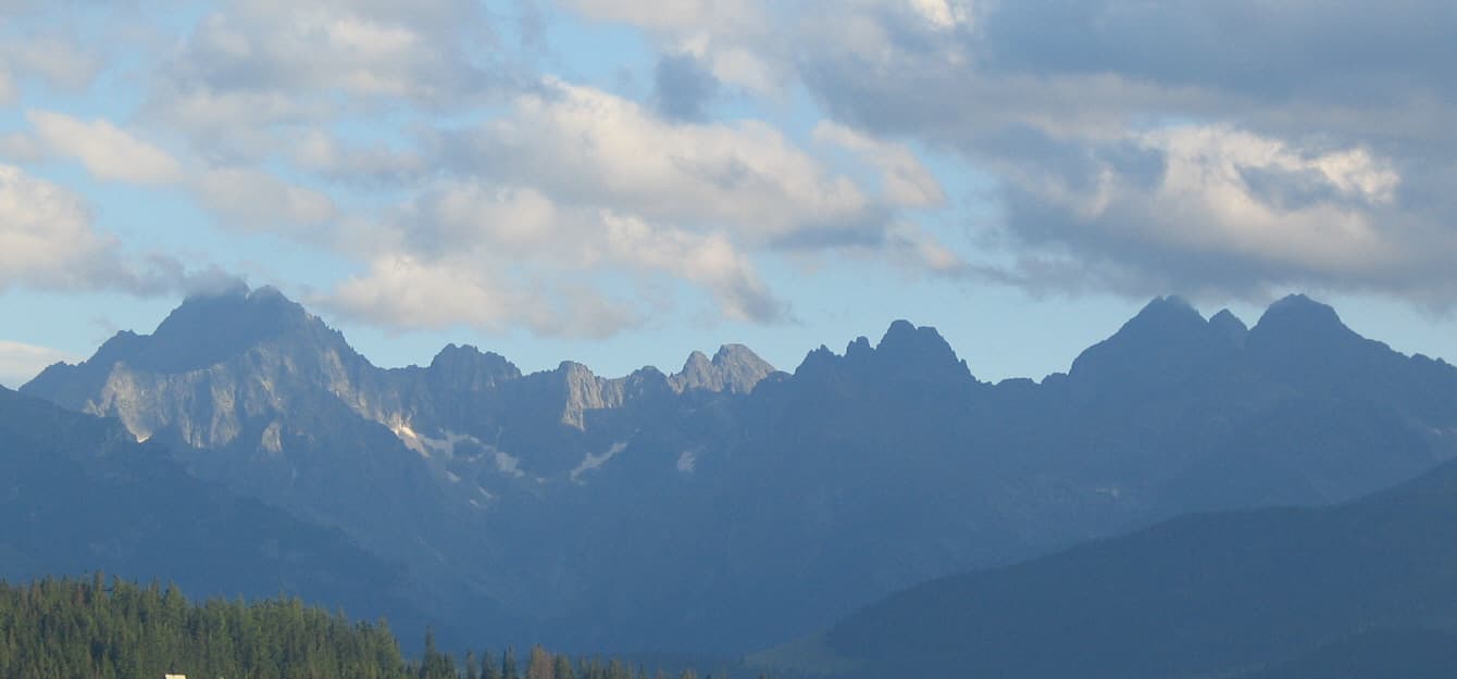
The highest peak is called Gerlachovský štít, which is 2,655 metres tall. That is much shorter than the Alps in nearby Switzerland, but the High Tatras look just as dramatic - sharp grey peaks rising straight up out of dark green forests, often with snow on top even in summer.

Hidden among the peaks are around 100 small mountain lakes called 'plesá'. They are leftovers from the Ice Age, when huge glaciers carved out hollows in the rock. Today the plesá are clear, cold and bright blue, surrounded by stone. The most famous, Štrbské Pleso, sits next to a village of the same name.

Slovakia and Poland share the Tatras - the border runs right along the top of the ridge. Hikers can stand on a peak with one foot in each country. Both countries have made the Tatras into national parks, so the forests, the bears and the wildflowers are all protected.

In winter the Tatras turn into a giant playground for skiing and sledding. In summer they fill up with hikers, climbers and families looking for cool mountain air. There is even a special little electric train that runs along the foothills, taking visitors from one mountain village to the next.

In the classroom

Walk your class through this in 15 minutes.

Talk together

Discussion prompts

  1. 01The Tatras are 'small but tall' - lots of high peaks packed close together. What other places do you know that are small but mighty?
  2. 02If you could put one foot in Slovakia and one foot in Poland on the same mountain, would it feel like being in two countries at once?
  3. 03Why might Ice Age glaciers be good at carving out lakes?
Try this

Classroom activity

Find Slovakia on a map of Europe. Mark the High Tatras along its northern border. Then look up your local highest hill or mountain and work out how many times taller Gerlachovský štít is. Draw both to scale.