Classroom lesson 路 The Atlas Mountains馃嚥馃嚘 Morocco

The Atlas Mountains

Snowy peaks that run almost the whole length of Morocco

Snow-capped peaks of the High Atlas Mountains rising above a Berber village

Photo 路 Wikimedia Commons

What is it?

The Atlas Mountains are a huge chain of peaks that runs across the top of Africa - through Morocco, Algeria and Tunisia. Morocco has three of them: the Anti-Atlas in the south, the High Atlas in the middle, and the Middle Atlas in the north. The highest peak is Mount Toubkal, at 4,167 metres.

Tell me more

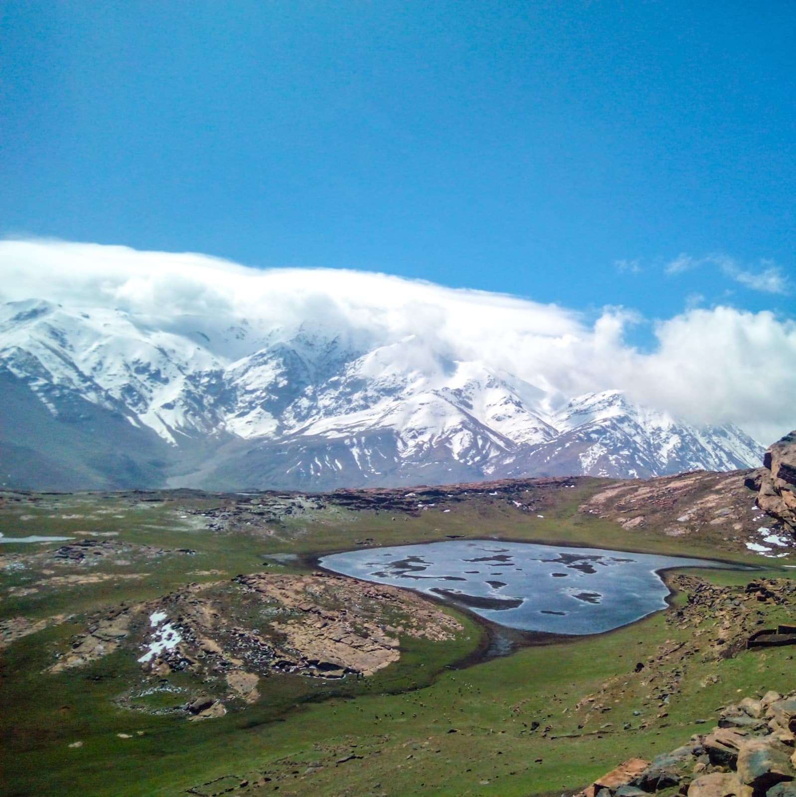
Many people are surprised to learn that Morocco has snow. The peaks of the High Atlas are white in winter, and there are even ski resorts in the mountains. The town of Ouka茂meden, two hours from Marrakech, has ski lifts going up to 3,200 metres.

The Atlas Mountains are home to the Amazigh people, who have lived in these valleys for thousands of years. Many villages are built from the same red mud and stone as the mountainside - which is why the houses look like they grew out of the ground rather than being built on top of it.

Apple, walnut and almond trees grow on the lower slopes. Higher up, shepherds walk their goats and sheep along narrow paths. The Atlas is full of rivers that come from melting snow at the top, which is why so many gardens, palm groves and farms have survived for so long in such a dry country.

The mountains also act like a wall. They block hot wind from the Sahara on one side and rain from the Atlantic Ocean on the other. The countryside on each side of the Atlas looks completely different because of this - green and farmable on the north, dry and desert-like on the south.

In the classroom

Walk your class through this in 15 minutes.

Talk together

Discussion prompts

  1. 01Most people think of Morocco as hot desert. How can the same country also have snow?
  2. 02Why might a village be built from the exact same earth as the hillside around it?
  3. 03What would change for a town that has a mountain between it and the sea?
Try this

Classroom activity

On a map of Morocco, draw a line where the Atlas Mountains run. Mark the Sahara on one side and the Atlantic Ocean on the other. Use one colour for desert and another for greener land. Compare what's where.