Imagine being in a wooden boat with no GPS, no phone, and no land in any direction. How would you know which way to go? Portuguese navigators worked out how to use the sun by day, and the stars by night, to find their position. They built special tools - the astrolabe and the cross-staff - that measured the angle of the sun or a star above the horizon. From that angle, they could work out how far north or south they were.
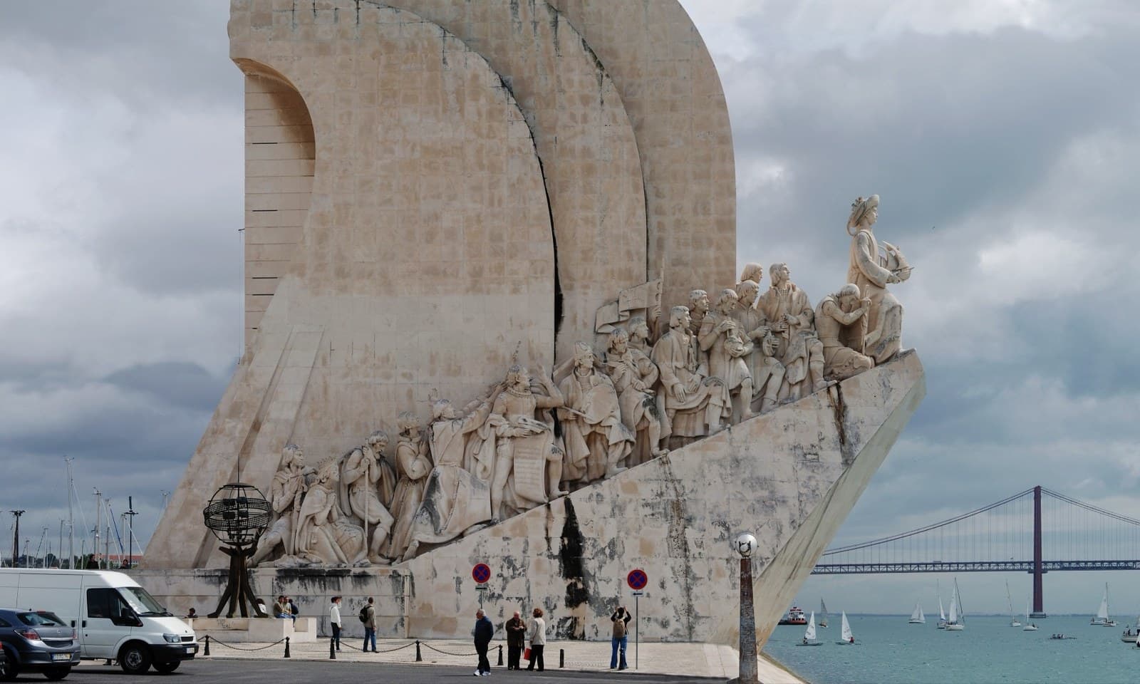
Henry the Navigator, a Portuguese prince in the 1400s, gathered the best mapmakers, sailors and astronomers in one place. They studied the wind and the currents, tested new ship designs, and slowly sent boats further and further down the coast of Africa. Each voyage learned something new, came home, and shared what they had found.
The most famous voyage was Vasco da Gama's. In 1498, he sailed all the way from Portugal, around the bottom of Africa, and on to India - the first time anyone had done it by sea. The journey took ten months, and the sailors had to live on biscuits, dried fish, and rainwater for most of it.
The Portuguese also designed a new kind of ship called the caravel. It was small, fast, and had triangular sails that meant it could sail almost into the wind, not just with it. With caravels, Portuguese sailors could explore places no European had been before, mapping coasts and bringing the maps home for others to use.